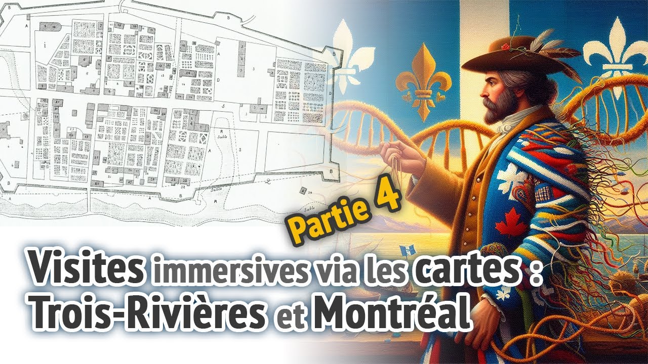
Visites immersives: Partie 4 - Trois-Rivières et Montréal
Immersive Visits: Part 4 - Trois-Rivières and Montréal
Keywords
Summary
209 words
Critical Evaluation
Value of the Information & Strength of the Argument
The informational value lies primarily in the visual comparison of successive historical maps, which effectively illustrates urban development over time. The presenter provides concrete dates, names, and contextual details (the 1752 fire, the ranking of parishes, the founding dates) that anchor the maps in verifiable history. The argumentation is associative rather than demonstrative: the presenter shows maps side by side and invites the viewer to observe changes, but rarely draws analytical conclusions about why certain developments occurred or what they reveal about colonial society. The connection to genealogy and genetic ancestry is stated rather than argued — the presenter asserts that geography and history help locate ancestors but does not demonstrate this with a concrete case. The observation about the two Pointe-aux-Trembles is genuinely useful for genealogists and represents the most practically valuable insight in the video. Overall, the value is documentary and illustrative rather than analytical or hypothesis-driven.
Scientific Rigor, Source Quality, Title Accuracy
The video demonstrates reasonable scientific rigor for a popular history format. Dates and attributions are generally accurate: Trois-Rivières founded in 1634, Montreal in 1642, the 1752 fire, the 1685 map of unknown authorship, Pierre-Louis Morin’s maps, and Chaussegros de Léry’s 1727 map. The presenter correctly notes the existence of multiple copies of the Murray maps, with one held at the University of Michigan, and acknowledges uncertainty about the exact number of copies. However, no archival references, call numbers, or institutional citations are provided, which limits verifiability. The sources are the maps themselves, displayed on screen, but their provenance is not systematically documented. The title accurately reflects the content — a guided exploration of historical maps of Trois-Rivières and Montreal — though ‘immersive visits’ slightly overstates the interactive quality of what is essentially a narrated slideshow. No advertising sequence was detected in the transcript.
307 words
Title / Content Match
The title accurately reflects the content: an immersive exploration of historical maps of Trois-Rivières and Montreal. The term 'immersive visits' is slightly promotional for what is essentially a guided map walkthrough, but the subject matter matches perfectly.
Quality & Reliability
7/10
The content is based on genuine historical maps from the 17th-18th centuries (Murray index maps, Pierre-Louis Morin maps, maps of 1685, 1704, 1727, 1645), with dates and authors generally correctly identified. The presenter acknowledges uncertainties (unknown author of the 1685 map, approximate number of Murray copies). However, no archival references, call numbers, or institutional citations are provided, and the presentation remains descriptive rather than analytical. The historical facts stated (founding of Trois-Rivières in 1634, Montreal in 1642 by Maisonneuve, the 1752 fire) are accurate and verifiable.
Chapters
- intro
- carte index 1760
- Montréal et Trois-Rivières
- Trois-Rivières 1760
- Trois-Rivières 1685
- Trois-Rivières 1704
- Montréal, 1760 (copie de l'U. du Michigan)
- version personnelle de James Murray
- Montréal, 1645
- Montréal, circa 1700
- Montréal, 1727
- Pointe-aux-Trembles, Montréal
- Pointe-aux-Trembles (Neuville)
- campement de Murray
- conclusion
Contribution & Novelties
The video’s original contribution lies in its side-by-side visual comparison of maps from different periods for the same cities, making urban evolution tangible for a general audience. The observation about two distinct Pointe-aux-Trembles — one a seigneurie on the Island of Montreal, the other a parish near Quebec — is a practically useful clarification for genealogists. The connection between historical geography and genetic ancestry testing is an interesting interdisciplinary angle, though it remains programmatic rather than demonstrated.
Pour aller plus loin :
- James Murray (British Army officer, born 1721) — Context on the British general who commissioned the index maps after the Conquest of 1760.
- Trois-Rivières — History of the city founded in 1634, including the 1752 fire mentioned in the video.
- Pointe-à-Callière Museum — The Montreal museum located at the exact site of the city’s founding, referenced in the video.
- Paul de Chomedey de Maisonneuve — Founder of Montreal in 1642.
- New France — General context for the colonial period covered by the maps.
165 words
Radar Profile
The profile shows a content rich in historical detail and visual documentation but limited in analytical depth and technical complexity. The high reliability score reflects accurate dates and attributions, while the moderate information quantity and low technical level indicate a documentary format aimed at a general audience rather than a specialist one.